Georgia City Planning: Curb Appeal
As downtowns are revitalized and mixed-use communities grow, planners and developers are tackling an old challenge – where to put parking spaces.
Parking isn’t the sexy part of economic development. When cities and counties announce new projects, it barely merits a side note. In fact, parking often poses challenges that city and county leaders must confront, including location, accessibility, affordability, safety and environmental impact.

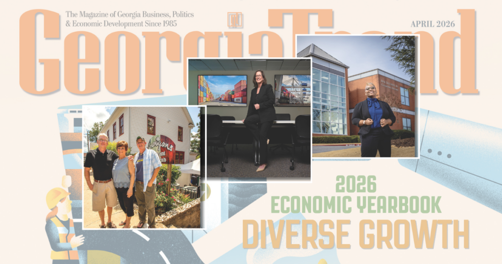
Addressing Challenges: Alex Morrison, executive director for the Macon-Bibb Urban Downtown Development Authority (UDA), and Margaret Peth, UDA Operations Manager Photo credit: Matt Odom
Parking problems are now inspiring solutions. By reimagining parking, city leaders are rethinking development in innovative ways. They might reprioritize the space used for parking, pivot toward transit and encourage other forms of active mobility, such as walking, biking and hiking.
“Smart parking” solutions like autonomous vehicles (AV) that rely on sensors to park in decks, garages or lots are still far off in most municipalities and most areas in Georgia. However, over the past year, the Cumberland Community Improvement District (CID) and the city of Peachtree Corners have both used AVs as shuttles within their commercial districts.
In September, Peachtree Corners deployed Georgia’s first Federal Motor Vehicle Safety Standards-compliant, on-demand AV for public use. The AV, which carries a maximum of five passengers at a time, drives a route through Technology Park with an expansion route planned for spring 2025.
The Cumberland CID AV shuttle pilot program, dubbed the Cumberland Hopper, collected performance data and gathered community feedback from July 2023 until March 2024. Due to its success – the Hopper has had more than 10,000 riders since its inception – the pilot was extended through the end of December. The CID has applied for and hopes to receive a U.S. Department of Transportation Strengthening Mobility and Revolutionizing Transportation (SMART) grant to extend the pilot a further 18 months.
Community Asset, Common Good

Available and Accessible: Downtown Macon’s new parking program was born out of necessity. Photo credit: Matt Odom
Ask a city planner or head of development about their city’s concept of parking, and often the response is silence. But Alex Morrison, executive director of the Macon-Bibb County Urban Development Authority (UDA), has a ready answer. He frames municipal parking management as administering the supply of a community asset for the common good.
“The reason we’re even [dealing with parking] is that there are [more] people that want to use the asset than we can provide,” he says. “That’s why we have to mete out – literally meter – the allocation of the resource. It’s a good that is common to everybody, and we can’t allow some people to have all the access to the public asset.”
The UDA, on behalf of Macon-Bibb County, handles much of the parking administration. The entity takes a user-based approach to parking.
“Any car trip begins and ends with a parking spot,” Morrison says. “It’s vitally important that it’s an overall good experience. In a downtown area that’s busy, the first threshold you have is one, that a space is available, and two, that the space is accessible.”
Macon’s managed parking program was born out of necessity.
“The blocks downtown would often see very little turnover throughout the day, including the blocks that were 100% occupied almost every hour of the day in our core areas,” says Morrison. “And the spaces that did turn over were turning over, at most, twice a day instead of the four to five times a day that is really necessary to support street life.”
Morrison cited the lack of enforcement of the parking maximum and, significantly, the no-pay structure for the resulting parking shortage.
“You can’t have growth in that environment,” he adds. “You can’t add new people if there’s not a place for them to park, especially if you’re a community doing most of its commuting through personal vehicles.”
The result? Some businesses closed, unable to secure bank loans in part because they couldn’t get customers in the doors. Morrison called it a “watershed moment,” watching businesses and restaurants fail in an otherwise growing downtown.
In order to maintain Macon’s historic feel, city ordinances do not require off-street parking minimums for developers building new buildings or redeveloping. Instead, the city now offers plenty of on-street metered parking and operates a parking deck with 770 spaces. The deck is used by people who live, work and visit downtown Macon. The city plans to increase the number of parking spaces downtown within the next two years by building two parking decks, one behind City Hall and another just off Poplar Street.
Macon’s parking program was intended to create managed parking solutions promoting transit use, rideshares and active mobility such as walking and biking, leading to a healthier community.
“The revenue from our parking program is designated in our ordinances to improve sidewalks and streetscapes in our downtown area, so our program is working both angles, making sure we can foster quality development downtown and opportunities for more active transportation,” says Margaret Peth, UDA operations manager.

Innovative Thinking: UDA Operations Manager Margaret Peth at a parking garage in Macon. Photo credit: Matt Odom
Recently, the UDA established the Downtown Macon Advisory Board. One of Peth’s goals for the program is to increase community buy-in and help members understand why paid parking, still relatively new to Macon, is a solution. It’s a message Peth hopes members will share with their personal networks.
“Our downtown real estate in Macon is literally the most valuable land in the community,” she says. “If we don’t manage the real need for parking, we risk devaluing one of the community’s most valuable assets. As much as everyone would like to have a spot right in front of wherever they go, it’s not possible to park more than one car in one space. This program addresses the management needs for parking and provides a way to reinvest in the community through the revenue generated by paid parking.”
Like Macon, Savannah is committed to maintaining its historic vibe while hosting millions of visitors each year, many of whom want to park downtown.
“Years ago, we saw parking as an economic development item,” says Sean Brandon, director of Savannah’s Mobility and Parking Services Department. “There needed to be a base amount of it, but when you’re in the National Historic Landmark District, and it’s the largest of its kind in the country, you’re not going to build your way out of it.”
“The reason we’re even [dealing with parking] is that there are [more] people that want to use the asset than we can provide. That’s why we have to mete out – literally meter – the allocation of the resource. It’s a good that is common to everybody, and we can’t allow some people to have all the access to the public asset.” Alex Morrison, executive director, Macon-Bibb County Urban Development Authority
Instead, the city focuses on managing resources. Visitors for the most part use on-street parking, while people who work in the city can buy monthly passes to park in municipal parking decks. They pay in tiers of service: One level of service covers parking Monday through Friday during business hours; another allows 24-hour access, and another ensures a reserved space. Any leftover spots are open to daily customers (mostly tourists). The city has partnered with two development groups to build two new parking garages – one underground near Forsyth Park and the other on the eastern side of the Eastern Wharf, outside the historic district. Construction on both is expected to start in late 2024 or the first quarter of 2025.
Data-Driven Parking Solutions
In Atlanta, the Midtown Alliance, a nonprofit organization of business and civic leaders, takes a laser-focused view of parking.

Prioritizing Residents’ Needs: Dan Hourigan, director of transportation and sustainability for the Midtown Alliance. Photo credit: contributed
“We think of parking as just one of the uses at the curb,” says Dan Hourigan, director of transportation and sustainability for the Midtown Alliance. “There’s so much demand for the curb, whether it’s for parking, for delivery, for bike lanes, scooter lanes or more active sidewalk uses. To that end, we joined with our sister organization Downtown, Central Atlanta Progress, to develop a curb management plan for Downtown and Midtown.”
The two organizations joined to form a curbside management strategy, after conducting interviews and a community engagement survey. They got buy-in from the city, according to Hourigan, so they were able to make decisions based on reality versus opinion and developed a comprehensive plan, digitizing all the curb assets, including spaces, curb cuts, meters, hydrants and bike lanes. Armed with the data, they sought to answer the question of how to prioritize who used the curb.
“Parking is one critical use of the curb, but so are parklets, bike lines, and so are delivery zones and other things,” Hourigan says.
The Midtown Alliance conducts a community survey of people who live and work in Midtown every three years. Approximately 4,000 to 5,000 people take part in the study, so it’s a significant sample and reflection of the people who experience Midtown on a daily basis. Midtown boasts a transit-rich profile. The area is home to three MARTA stations, with trains and buses running throughout the district. The regional Xpress commuter buses travel to Midtown daily, and rideshares and shuttles are common modes of transportation. It’s not as if the community doesn’t have options.
“Time and time again, when we ask, how would you prioritize future transportation projects, walking is No. 1 – 98% of [respondents] say to prioritize Midtown’s transportation environment for walking,” Hourigan says. “No. 2 is transit. No. 3 is biking, tied with No. 4, which is scooters. Coming in last place is driving.”

Making an Upgrade: Rendering of the new transit-oriented development alongside the Edgewood-Candler Park MARTA Station, converting an underused parking lot into affordable housing. Photo credit: contributed
Midtown Alliance does what it can to prioritize walking within the area. Wherever possible, it has eliminated slip lanes – right-turn lanes designed to move traffic quickly – and turned them into bike lanes or public spaces, such as parklets or e-scooter corrals. In some places, the organization has reclaimed some parking spaces to create bike lanes or parklets. These projects are small but have a significant effect on the community.
“It’s a difference-maker for us, and that manifests itself in a lot of ways,” says Hourigan. “[Our community] wants safe places, not just from crime but also from traffic. It’s not our goal to remove all the parking spaces in Midtown. We want to be strategic about where we do projects like parklets, but we also know that as Midtown continues to densify, just having metered parking spaces is not the solution. In a place like Midtown, where we’ve got 25,000 people or so who live in the district, you can use some of those parking spaces for other needs, and you’ll be OK. With that said, I’m sure there are restaurants and retailers that would love to see more on-street parking and delivery spaces. That opinion is out there. We also know that the customers are walking to those places and not necessarily driving to those places. We need to provide some balance.”
People Over Parking
From its inception, the Atlanta Beltline has been a public space, with its 22 miles of multiuse trail looping around the city and attracting millions of visitors, creating connections between 45 neighborhoods and providing opportunities for fresh cultural experiences and flourishing new businesses. Transit has long been part of the vision, too, although there’s currently no agreement about what form that might take.
But the Beltline is already able to create transit-oriented developments (TOD), such as a 31-plus-acre parcel of land at 425 Chappell Road, near the Westside Trail Segment 4 spur, which is in design. The site is adjacent to 30 acres of land owned by the city of Atlanta.
Because of its proximity to the Bankhead MARTA Station and other existing transit, trails and spurs being built on the Westside, 425 Chappell Road is considered a TOD, which leverages transit and active mobility options available while limiting the number of parking spaces available to residents and businesses in the development.

Planning and Effort: Dennis Richards, vice president of Housing Policy and Development for the Atlanta Beltline, Inc. Photo credit: contributed
“Across all 60 acres, we think we can get north of 3,000 units of housing, about 120,000 square feet of retail, and that includes a lot of very dense development that would have to occur following a lot of planning and effort on the city’s part,” says Dennis Richards, vice president of Housing Policy and Development for the Atlanta Beltline, Inc.
In February, the Atlanta City Council approved an ordinance creating an overlay district that no longer required parking minimums for new development.
“There are a few exceptions for certain commercial businesses, but we were obviously supportive of that [ordinance] because it prioritizes people over parking,” says Richards. “We at the Beltline have some pretty large sites, but that’s not typical.”
By reducing the number of required parking spaces, they’re able to build more housing,
“That’s a priority for us,” Richards adds. “Also, with the inclusionary zoning ordinance, we know the more housing we create, the larger share of affordable housing set-asides we’re going to create. And that can be directly attributed to parking reductions in certain instances.”
Nearby, MARTA has a plan for a 5-acre TOD at the Bankhead MARTA Station that includes 496 housing units (including affordable housing) and commercial development. Ventures like this have turned underutilized parking lots into thriving places where people live, work and play and provide a sustainable reinvestment stream.
“Time and time again, when we ask, how would you prioritize future transportation projects, walking is No. 1 – 98% of [respondents] say to prioritize Midtown’s transportation environment for walking. No.2 is transit. No.3 is biking, tied with No. 4, which is scooters. Coming in last place is driving.” Dan Hourigan, director of transportation and sustainability, Midtown Alliance
“The local government would get tax revenue from the improvements because MARTA property isn’t taxable, but the improvements built on the TOD become taxable,” says Greg Floyd, MARTA’s acting director of the Office of Transit-Oriented Development and the Department of Real Estate Development and Asset Management. “MARTA generates income from the leases and reinvests that income into future systems-wide capital improvements, benefitting the entire region.”

Generating Income:
Greg Floyd, MARTA’s
acting director of the
Offi ce of Transit-Oriented Development and the Department of Real Estate Development and Asset Management. Photo credit: contributed
Such projects are a perfect example of the way multiple organizations and entities are working together to ease congestion on the highways and roads.
“There’s a correlation between mobility infrastructure, transit-oriented development and policies around parking reduction,” adds Richards. “All these things play together ultimately to create a better built environment that consequently should get folks out of their cars because they’ll be able to get to and from [places], hopefully easier.”
Perception Versus Reality
The city of Covington, a popular filming location, regularly welcomes thousands of visitors to its busy downtown square. Judy Johnson, the city’s director of planning and development, says parking availability and access are often issues of perception versus reality.
“If you go to Walmart, you don’t think anything about parking in a space, even if it’s the furthest from the door, then walking all the way through the store and back to your car,” she says. “But when you’re looking for a parking space on the square, and you want to go to a certain restaurant, your mindset is that if you have to park two blocks over, then there’s no parking.”

Sustainable Mobility: Judy Johnson, Covington’s director of planning and development. Photo credit: contributed
Advocacy groups like Newton Trails have been instrumental in amplifying mobility conversations, Johnson says, expanding the trail network connections, supporting bike paths and raising community awareness of these access issues.
“Newton is very progressive in alternative and sustainable mobility,” she adds. “As we’re redoing our roadways, ensuring our sidewalks are multiuse is very important. We have a plan to broaden Turner Lake Road where it [merges] onto Highway 81/Washington Street. We’ll put in a median island [and] sidewalks that are wider to accommodate strollers, bikes and walkers. We want to open it up so we can get our community to think about walking instead of just jumping in their cars.”